Fernilee Reservoir Walk
Walk all the way round this attractive wooded reservoir in the Goyt Valley
About the walk
Fernilee Reservoir is the lower of the two reservoirs in the Goyt Valley (the upper being Errwood Reservoir), and supplies drinking water to Stockport and surrounding areas. The combination of water and woodland (particularly on the western shore) makes this a popular spot for a walk. Although this area can get very busy on a sunny bank holiday weekend, there’s still enough space for everyone to enjoy the peace and tranquility of the Goyt Valley. Come here in winter, or mid-week, and you’ll have it more or less to yourself (local dog walkers excepted).
Need-to-know
- Free parking (no height restriction; no overnight parking or camping).
- A regular bus service passes the end of Goyt’s Lane but this is 2 kilometres from the start of the walk as described, so would almost double the total length of the walk (and add a considerable amount of ascent and descent). See “Getting there” for more information.
- 3 miles (5 kilometres) circular walk
- 1¼ to 1¾ hours at a leisurely pace
- Generally easy terrain, but with a few moderately steep slopes, steps, and a few short sections of rough track (rocks and tree roots). The rougher sections of track, and steps, can be avoided if you return the way you came (back to the car park) once you reach the dam. Even after heavy rain, this route shouldn’t get too muddy. The full circuit is not suitable for wheelchair users or for pushchairs.
- No stiles
Getting there
By bus: Bus number 61 (Buxton - New Mills - Hayfield - Glossop) passes the end of Goyt’s Lane on the A5004 Buxton to Whaley Bridge road. You will then need to walk approximately 2 kilometres down Goyt’s Lane (a quiet country road), which includes a steep descent down Bunsal incline, to reach the start point. Remember that you’ll need to reascend the incline to return to the bus. The map on the Wildmoorstone Valley walk page shows Goyt’s Lane, and its junction with the A5004 bus route.
You can download timetables for Derbyshire public transport from travelderbyshire.co.uk/journey
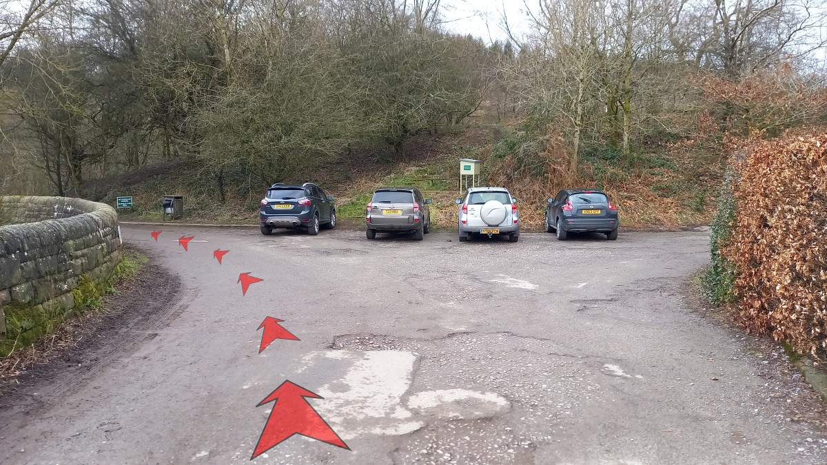
By car: Start and finish at Bunsal Cob Car Park (arrowed on the following map).
The following may help if you use a satnav:
- nearest postcode: SK17 6GJ (this postcode is actually for the Errwood Sailing Club (private), which is just around the corner from Bunsal Cob Car Park. You should enter what3words, latitude/longitude or Ordnance Survey grid reference figures into your satnav for a more precise location).
- what3words: arching.moped.helpfully
- Latitude, Longitude: 53.280, -1.974
- Ordnance Survey grid reference: SK 018 758
Map & directions
This simplified map provides guidance for the route described – the numbers refer to the numbered steps in the walk description. This map is not suitable for detailed navigation, for which you should use a copy of the relevant Ordnance Survey map.
The Ordnance Survey map covers a bigger area along with important information such as place names, official rights of way, and areas of Access Land.
For this walk, the ideal map is the Explorer Series Number OL24: The Peak District - White Peak Area (Buxton, Bakewell, Matlock & Dove Dale), which includes the whole area of the walk at 1:25 000 scale (4 centimetres to 1 kilometre).

Contour interval: 10 metres; index contours, 50 metres. North at top (approximate).
Map data from OpenStreetMap (available under the Open Database Licence). Contains Ordnance Survey data © Crown copyright & database right 2010–2023.
Base map generated by OpenOrienteeringMap (created by Oliver O'Brien). OpenOrienteering map is supported by British Orienteering.
Stage 1: Car Park to Fernilee Dam
-
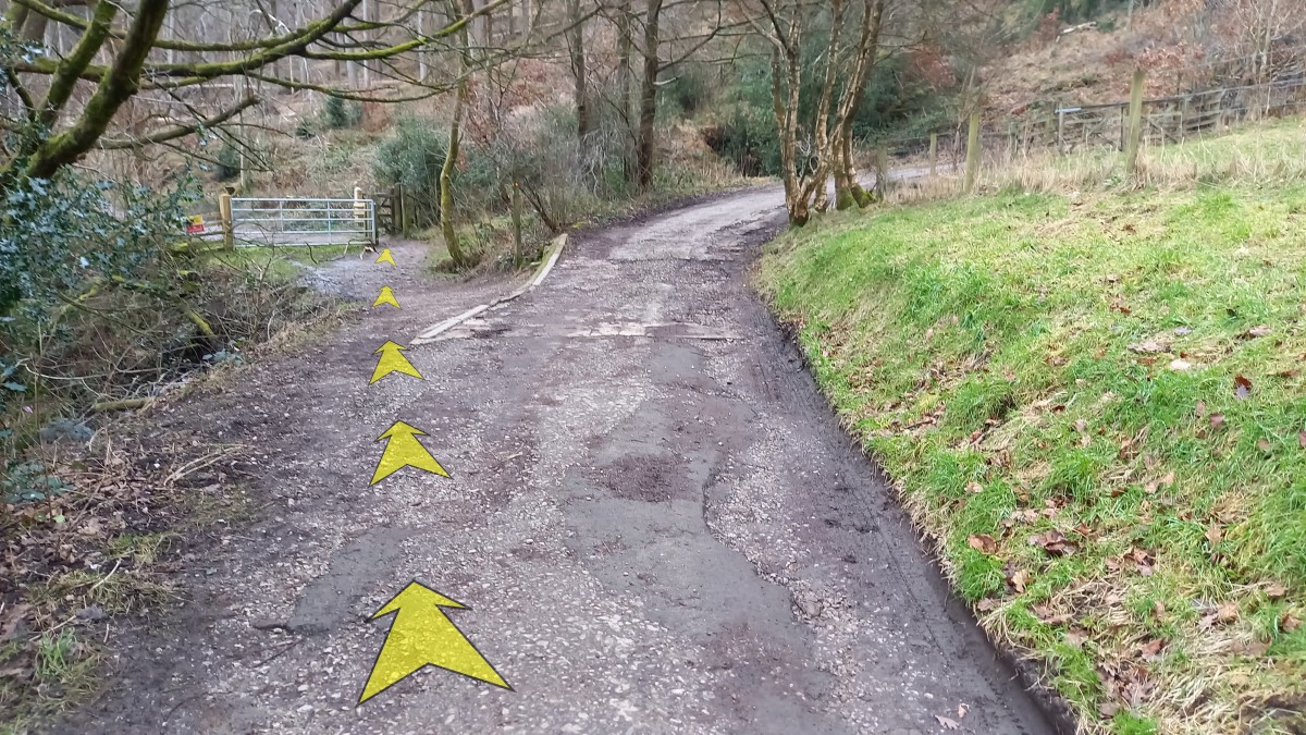
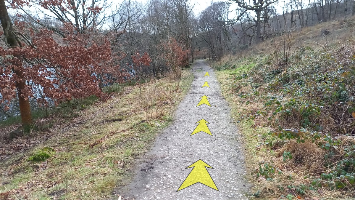
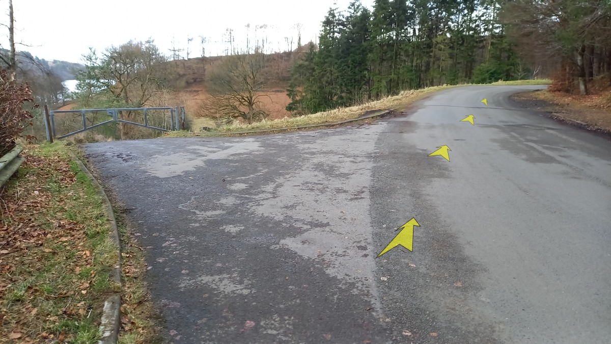
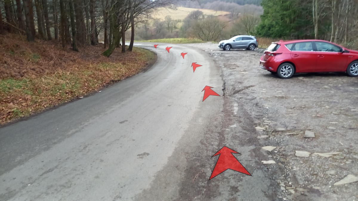
Leave the car park by heading slightly downhill (away from the closed toilet block), and follow the road around to the left.
-
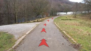
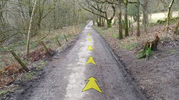
After about 100 metres, turn right off the main road onto a surfaced track. Walk round the metal gate at the top of the track, and continue to follow the track quite steeply downhill.
-
Continue to follow the track as it descends towards Fernilee Reservoir, bending to the left lower down (there's a red and white gas-pipeline marker post at the bend).
-
About 200 metres from the metal gate, pass a stony track on your left, and continue to follow the main track round to the right as it meets the edge of the reservoir. Depending on recent rainfall and the time of year, the reservoir water level can vary considerably.
-
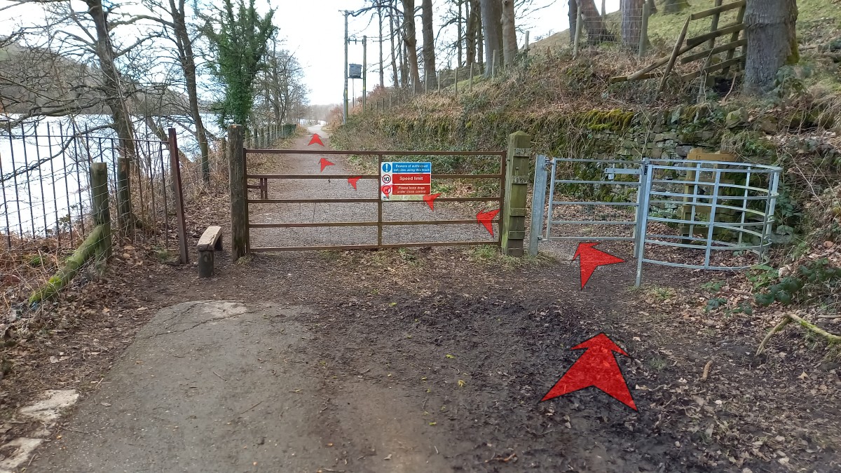
Continue along the track, and about 100 metres after reaching the edge of the reservoir, pass through a kissing gate.

-
After a short wooded section, the views over the reservoir open out as you continue along the track. You may just be able to make out the dam at the far end of the reservoir from here. An information board on the left includes a map and the history of Fernilee Reservoir.
-
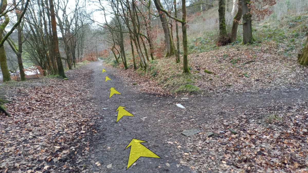
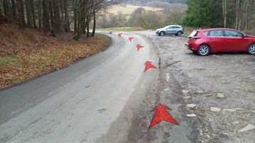
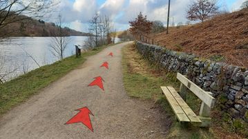
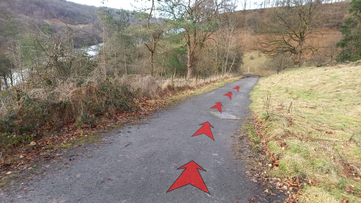
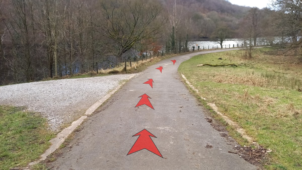
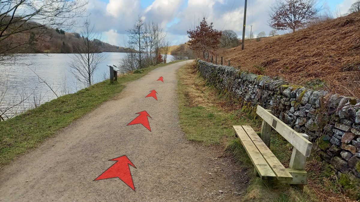
Continue along the track as it passes through wooded and more open sections – there are several benches along this section of track. You'll likely see swathes of bluebells on the right-hand banks here (in May), and stands of pink Willowherb later in the summer. Eventually, about 1½ kilometres (1 mile) from the last gate, you'll reach a second gate across the track. Go through this, and continue on a tarmacced road towards the dam that you can now see close at hand ahead and to your left.

-
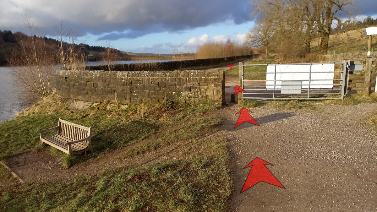
About 300 metres from the gate, you'll reach a parking area. Turn left here and take the road across the top of the dam.
-
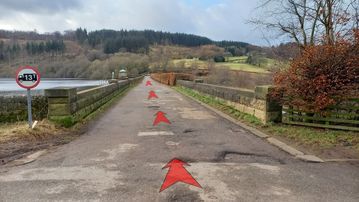
The road across the top of the dam is about 250 metres long. There are good views back along Fernilee Reservoir, and to the hills beyond as you get further across the dam. Also, don't forget to look through any gaps in the hedge to your right as you make your way along the dam – there are great views from here down to the River Goyt in its wooded valley.
-
At the far end of the dam (just past a water take-off tower that you pass on your left), you'll reach a road junction. There are often a few cars parked here, and you may also find an honesty box containing hen and quail eggs for sale – you can pay online with your phone if you don't have cash. Bear left here, passing a sign: 'No vehicular access. Oldfield Farm only'.


Stage 2: Fernilee Dam to Car Park
-
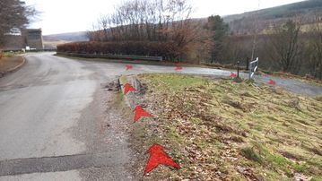
Continue through trees along the road (which is heading for Oldfield Farm), climbing gently away from the reservoir.
-
After about 200 metres, just before the road bends to the right and heads steeply uphill, you'll see a signpost on your left. This points to "Hoo Moor" (along the road) and to "Errwood" (into the woods on your left). Bear left off the road, into the woods on an earthy track, following the sign to "Errwood". Go through the gate (just a few metres from the road), and continue along the broad track.

-
Continue along the track, gradually gaining height above the reservoir. Recent felling here has opened up good views down to the reservoir.
Near the top of a short incline, where the track forks, ensure that you keep left on the main track. Ignore the right fork, which heads steeply uphill!

-
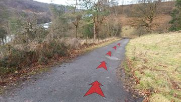
A little past the fork, and about ½ a kilometre (⅓ of a mile) from the road, you'll reach a signposted junction. The direction you've just come from is signed to "Fernilee". Turn left off the main track here (signed "Waterside Walk" and numbered "3"), joining a narrower path that immediately starts to descend towards the reservoir. Earth steps are built into the path where necessary.

-
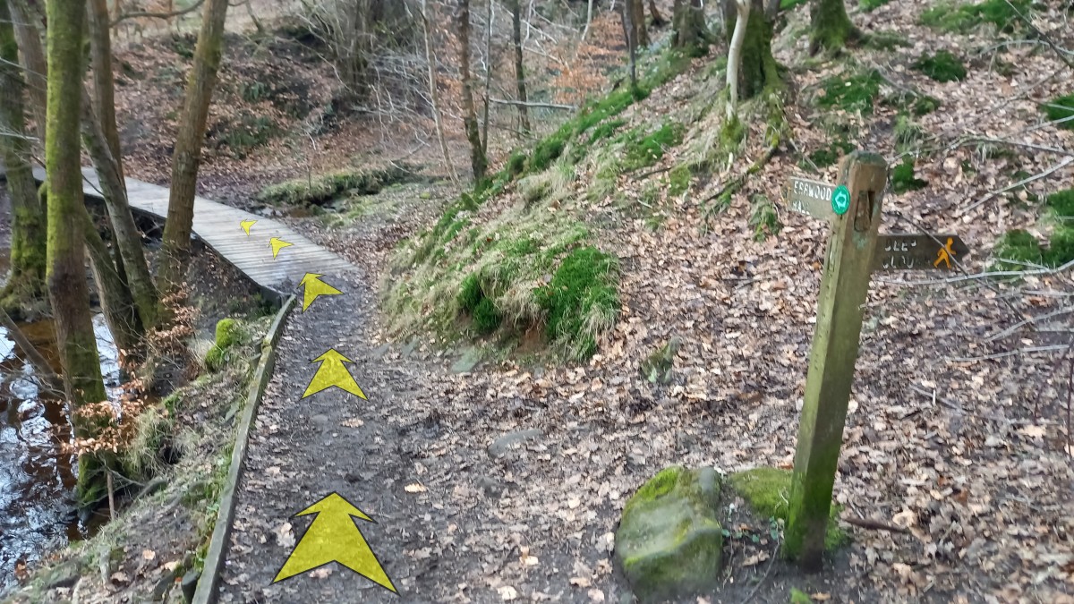
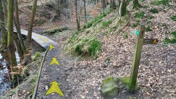
Continue to follow the path (passing a simple bench on the right, at the foot of the steps), which eventually levels off and then reaches another path junction after about 300 metres. Ignore the side-track to the right here (signed to "Deep Clough") and continue across a short section of boardwalk and on along the main track (signed to "Errwood Hall" and numbered "3").
-
Continue along the earthy path. This includes a slightly uneven rocky section, but is otherwise straightforward and broadens into a level track.
-
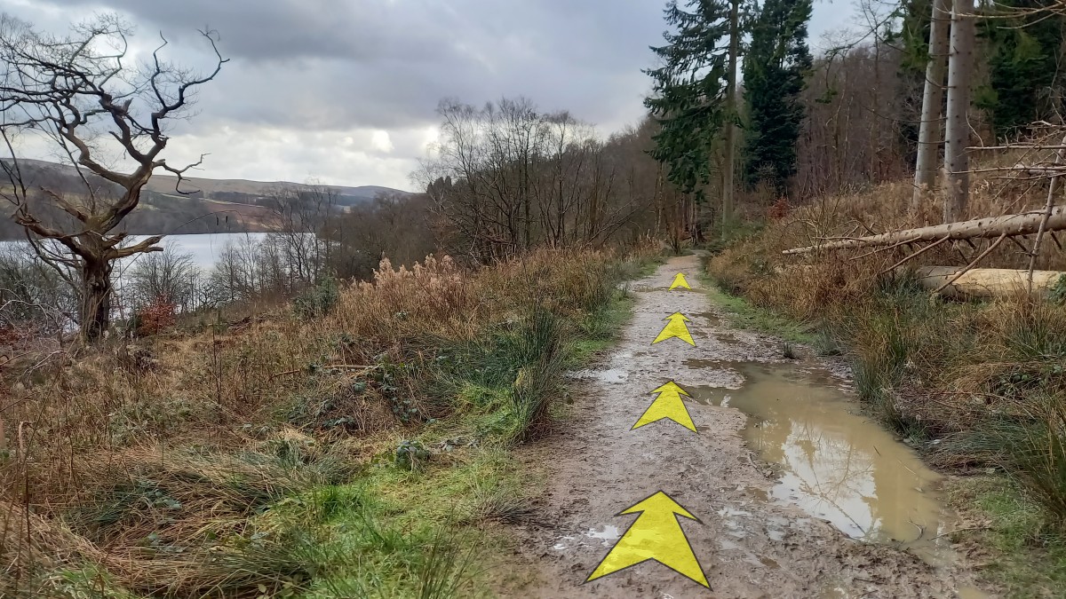
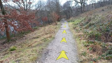
Continue along the broad path through woodland, passing some more open grassy areas to the left that give good views out over the reservoir. After about 600 metres from the last path junction, you'll reach a second junction. Again, ignore the side-track to the right here (unsigned) and continue along the main track beside the reservoir.

-
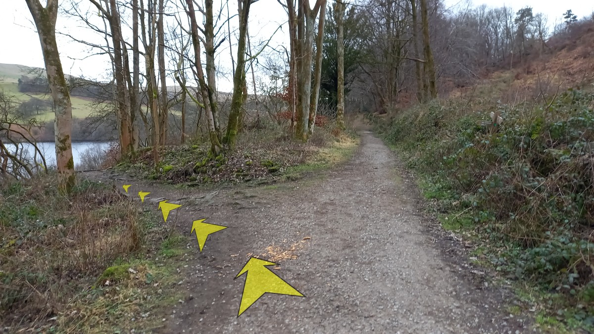
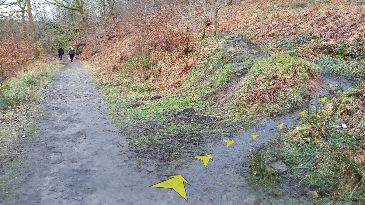
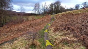
After another 150 metres, you'll reach another obvious path junction (unsigned – ignore a narrow path on the right just before this, signed as a public footpath, which climbs back on itself away from the reservoir). Take the unsigned earthy path that leaves the main track on the right. This narrower path immediately starts to climb away from the reservoir, and is a little rocky underfoot in places.

-
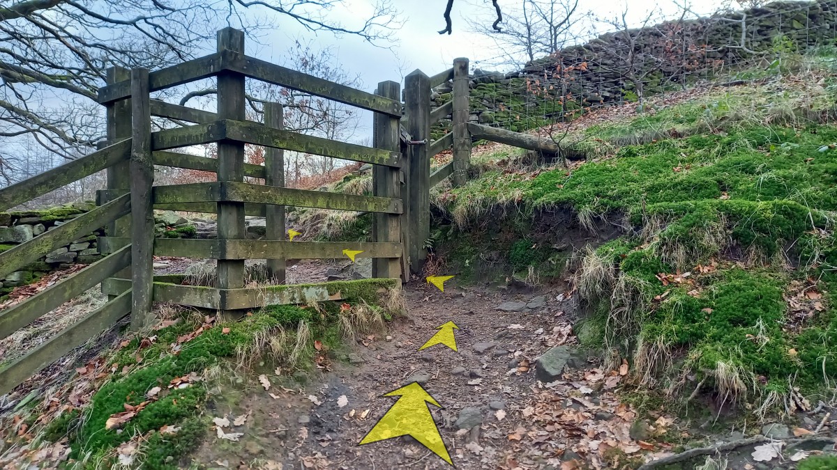
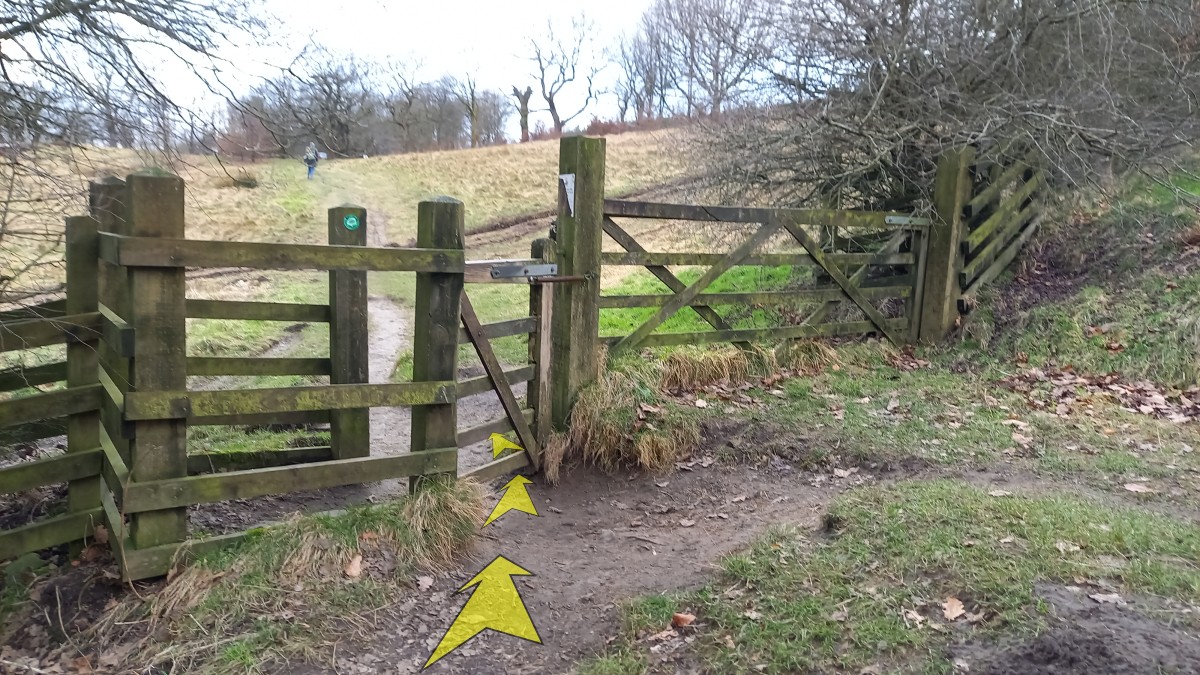
In a little over 100 metres, you'll reach the edge of the woodland at a kissing gate across the path. Go through the gate, and continue along the path.

-
The narrow path now crosses more open hillside, gradually climbing towards a group of trees. The upper dam (for the Errwood reservoir) is now clearly visible in front and to your left.
-
After about 150 metres, you'll reach a path junction (with a signpost pointing back to "Fernilee Reservoir") and another kissing gate. Go through the kissing gate.
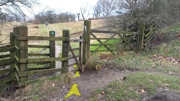
-
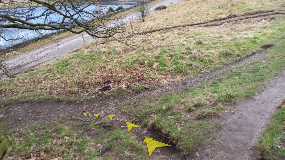
Turn left immediately after the kissing gate, passing under trees along a narrow earthy track, and descend to meet the road. Alternatively, continue on across the grassy field ahead to meet the road a little further along.

-
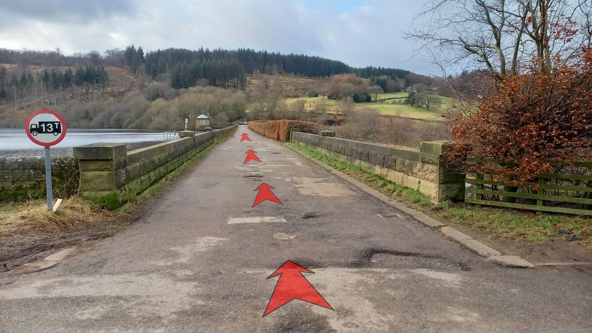
On reaching the road, cross the Errwood dam using the pavement on the right-hand side. About half-way across, there's a good view through a thinned section of the hedge on the left, looking out over Fernilee reservoir (that you've just walked around).
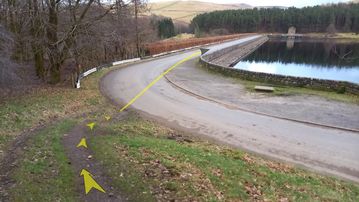
-
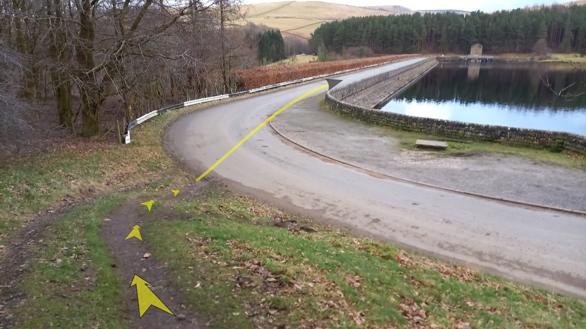
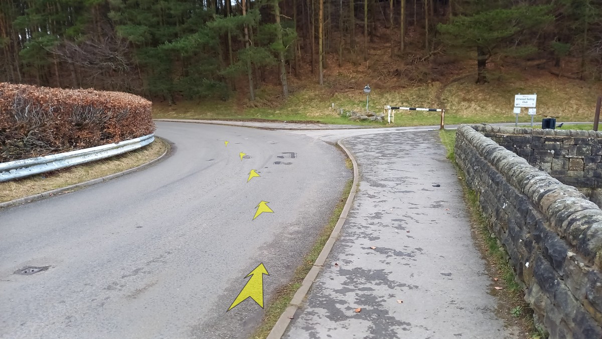
At the far end of the dam (about 300 metres), follow the road around to the left.
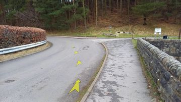
-
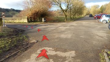
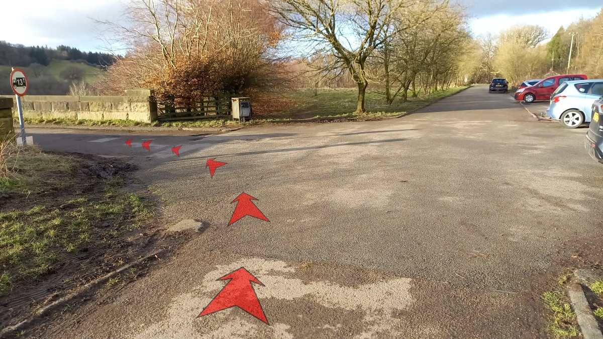
The road then bends back to the right, and you'll soon pass the point where you left the road at the start of the walk (metal gate). Bunsal Cob car park soon comes into view, about 200 metres from the end of the dam.